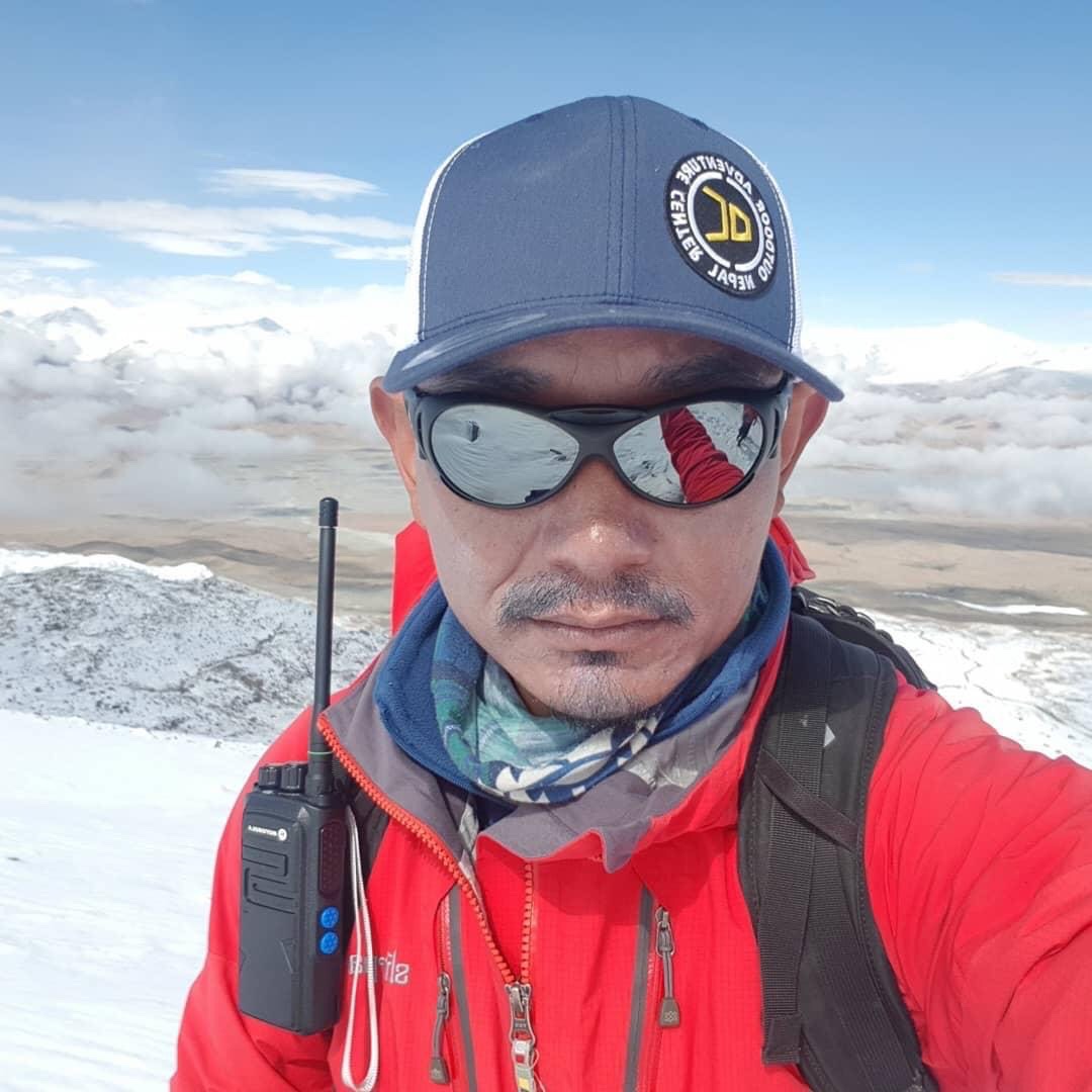

Cho Oyu Expedition
Mount Cho Oyu is the 6th highest mountain in the world, with an elevation of 8,201 meters above sea level, located on the Nepal-Tibet border 20 km west of Mount Everest in the Mahalangur range. Cho Oyu means “Turquoise Goddess” in the Tibetan language. The Cho Oyu Advance Base Camp is near the Nangpa La pass (5,700m) that connects Tibet and Khumbu, Nepal – the main trading route between the Tibetans and the Sherpas of Khumbu.
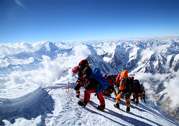
Due to less technical difficulty, Cho Oyu is considered the most accessible eight-thousand meters peak. The route from ABC is straight on the moraine and about 1.5 hours steep climb to reach Camp I at 6,400 meters. Only after Camp-I do we need crampons to traverse a ridge and ascend on a headwall to Camp II at 7,000 meters. We set up Camp III on the northwest face at an elevation of 7,500 meters which will be the last camp for the summit attempt. The summit of Cho Oyu is wide open, like a plateau, and it needs to be clarified regarding the real summit point to take pictures. So, the climbers take Mt. Everest (on the back) as a landmark to find out the actual summit.
Facts: It is regarded as the most accessible 8000m peaks, so the number of climbers on it is very high. It is technically easy, but if there is heavy snowfall, it is not safe from the avalanche. In the autumn of 2010, the avalanche swept away the route fixing team twice; as a result, they have yet to make it to the summit.